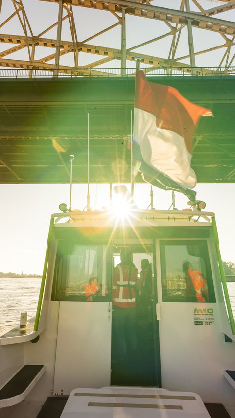
Inland shipping has to constantly keep moving. Waterways are of huge economic importance in the Netherlands. This is why Heijmans manages and maintains various waterways, including the Upper Rhine and Waal rivers, between the German border and Woudrichem.
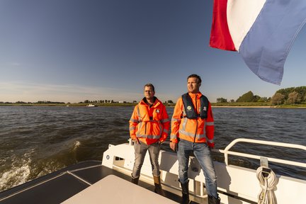
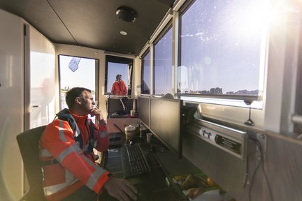
The white survey boat cuts silently through the water of the Waal river near Nijmegen. The only sounds in the cabin are those of splashing water and a flapping tricolour. Technical manager Raoul van Tilborg gazes across the river as he leans against the wheelhouse: “Together with Martens en Van Oord, staff from Heijmans Asset management manage the main waterways in East Netherlands for the Dutch Ministry of Public Works and Waterways (Rijkswaterstaat). Our project is divided into so-called wet and dry work. One of our main tasks is to maintain the depth of the Upper Rhine and the Waal, a total of ninety kilometres of river. To make sure vessels do not run aground, the bottom of these rivers is dredged on a regular basis. We measure the depth from our ship, and special dredgers from Martens and Van Oord dredge up sand where necessary.”
Floating debris
The other work takes place on banks and in harbours. “We inspect all ‘dry assets’, such as the overnight ports at Lobith, IJzendoorn and Haaften,” Raoul says. “We’re also responsible for their maintenance, repairing damage to mooring facilities and jetties. We also look after the jetties at the traffic stations and support points and manage the greenery along the waterways. And our team is always on standby in case of emergencies. During last summer's flooding, for instance, we removed floating debris in two hundred different places.”
Crucial
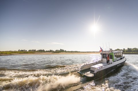
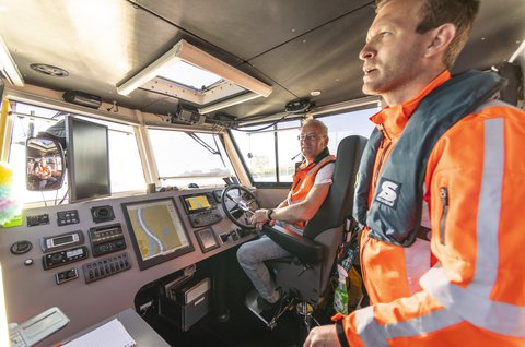
The boat is lifted by the bow wave of an empty tanker, only to fall back into the water with a deep sigh. Skipper Mark Veldkamp of Martens and Van Oord is used to the waves. He sails on one of the busiest Dutch rivers every day. “Sailing on the Waal is challenging. Besides shipping, you have to take into account the strong current. Staying stationary is difficult. And when you’re taking soundings, you have to constantly keep an eye on what’s happening around you, because big inland shipping vessels cannot simply swerve out of your way. That’s why communication with other vessels is crucial for our safety. When we’re taking soundings, we always have the flashing lights on, but that doesn’t give us any rights. If a vessel can’t swerve, we stop sounding and get out of the way.”
Hybrid
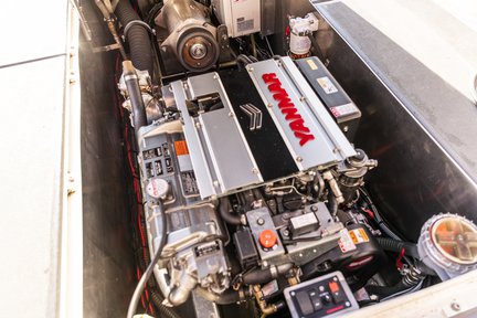
Because Heijmans wants to work more sustainably on every project, Raoul and Martijn’s team works on a boat fitted with hybrid propulsion. “We sail on the diesel engine to a sounding location. Then we switch to the electric motor to take our soundings. A fully charged battery is good for eight hours of electric sailing, with an average speed of 10 kilometres per hour. We charge using shore power and not the combustion engine.”
Sonar
Technical manager Martijn de Graaf of Martens and Van Oord: “Our working area is divided into ten hotspots, locations where a lot of sediment, sand or gravel, lands on the bottom of the waterway. The Ministry of Public Works and Waterways requires us to demonstrate each week that these spots are the right depth. And once every eight weeks, we have to take the entire 90 kilometres to the right depth and demonstrate that.”
They use sonar for soundings for this. SONAR stands for Sound Navigation Ranging and works with underwater sound waves. These sound pulses bounce back to the surface via the river bed. The sonar device then measures how long the sound takes to reach the surface. This is how you determine the depth. This technique was copied from nature, as sonar works similarly to the echolocation used by bats and dolphins.
Building material
“Because a river can carry more and larger pieces of material when the flow rate is higher, material will settle and sedimentation will occur at any place in the river where the flow rate drops,” Martijn explains. “This is why inner bends often silt up more quickly. Here, the water flows more slowly and sand and gravel are more likely to sink to the bottom.”
According to independent knowledge institute Deltares, which studies water and subsoil, sediment is the largest natural capital we possess. In the publication Sediment uit Balans (sediment out of balance), Deltares states: “Besides water, sediment is also essential to maintain ecology. Every flood results in the deposit of a fresh layer of sediment, which, provided it is not excessively contaminated, is welcomed as a fertiliser, for maintaining floodplains or as a building material...” (p. 5)
Martijn: “But the supply of stones, gravel and sand is declining, partly due to the extraction of sand and gravel as building material and because meandering rivers have been forced into a fixed riverbed in certain places in Germany, for instance by dams and weirs. In the Netherlands, the river picks up the sediment present there, making our sections of the river deeper and deeper, and the channel narrower and narrower. Compare it to a French fries bag.”
“Both too much and too little sediment affects our public safety, economy and ecology (...). Too much sediment hinders shipping or muddies waters, affecting fish, among other things. (...) Too little sediment causes riverbed incision and bank erosion. This undermines structures such as bridges, dykes, roads and buildings. It creates underwater obstacles for shipping by exposing hard layers in the subsoil, tunnels, cables and pipes. And it has a negative impact on river ecosystems, as it drains and reclaims floodplains.” (Sediment out of balance, 2017, p. 6,9).

Less CO2
Raoul and Martijn process all the data from the sounding boat, depth gauge data from commercial shipping and from our client, Rijkswaterstaat, into a digital information model (BIM). This is basically a digital map of the Upper Rhine and the Waal rivers. Raoul: “In the coming years, this will help us learn how the rivers behave, with the aim of dredging as effectively as possible. In other words, how to keep the river at the right depth with as little dredging activity as possible. That saves a lot of CO2 emissions.”
Skipper Mark deftly manoeuvres the boat into Lindenberg harbour. He moors and plugs in the charging cable. “The question now is: how do we use the rivers' energy to our advantage?” says Martijn. “For example, we can fill deep stretches with sediment so the river will flow faster in the inner bend. This way, the sediment will sink to the bottom more evenly. This is the principle of the Zandmotor (sand motor) at Kijkduin. Hopefully, this will prevent rivers from getting deeper and deeper. The only way to keep rivers navigable and ecology intact in the long term is through daily soundings, dredging and applying innovative solutions, such as adding sediment.”
Contact us

